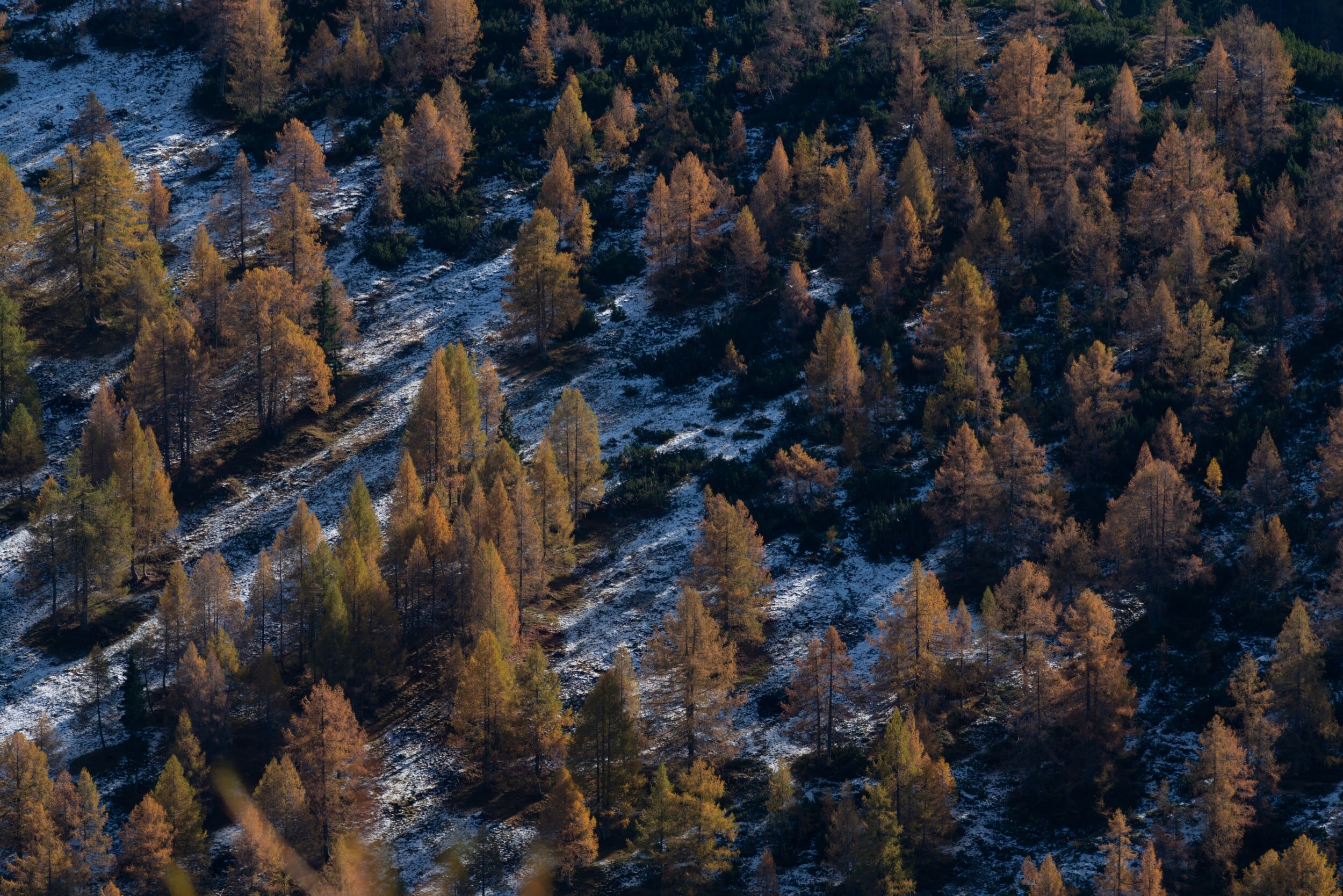
Land Use & Park Planning
Land Use Planning
Regional land use planning is a tool that derives from Yukon First Nations Final Agreements. Seven regional land use plans (LUPs) are proposed for the Yukon and there is also a sub-regional land use plan currently underway for the Beaver River Watershed. To the best of our knowledge, this is the first time that Sub-regional Land Use Planning has occurred in the Yukon. If it's done right, it's a chance to assess the cultural and ecological values of the land, establish the potential impacts of this road and the mining it would enable, and look at opportunities for conservation. We are involved in three of the ongoing processes.
North Yukon Land Use Plan
Completed
Dawson Regional Land Use Plan
Now up and running. YCS advocated for strong conservation priorities as part of the plan.
Peel Watershed Land Use Plan
Final consultations completed; we are waiting for the parties involved (Yukon government and the Peel First Nation governments) to finalize the plan. (More info at www.protectpeel.ca or here).
Beaver River Watershed Sub-Regional LUP
There's a proposal for a 65km road to access mineral claims throughout the Beaver River Watershed, located just south of the Peel.
Park Planning
[details?]
Take a Closer Look
Beaver River Watershed
Key Documents
[Post] The ATAC Road to Rau would transform the Beaver River Watershed
CPAWS Yukon
[Post] Press Release: Government of Yukon and the First Nation of Na-Cho Nyäk Dun reach agreement on ATAC tote road
Government of Yukon and First Nation of Na-Cho Nyäk Dun
[Link] The Beaver River Land Use Plan
Government of Yukon
[PPT] Beaver River Land Use Planning, Whitehorse Meeting February 06, 2019
Government of Yukon and First Nation of Na-Cho Nyäk Dun
[PDF] Map of the planning area for the Beaver River Land Use Plan
Government of Yukon and First Nation of Na-Cho Nyäk Dun
[PDF] YCS comments to YESAB re: the ATAC Rau road
YCS
[Media] Land use planning underway for Yukon's Beaver River watershed (Feb 7th, 2019)
CBC North
[Media] Mining access road receives clearance (March 5th, 2018)
Whitehorse Star
[Media] Proposed road has encountered stiff dissent (May 4th, 2017)
Whitehorse Star
[Media] Yukon mining industry warns against closing access to claims (March 22nd, 2017)
CBC North
[Media] Road to Tiger gold deposit in central Yukon worries hunters (Feb 17th, 2017)
CBC North
There's a proposal for a 65km road to access mineral claims throughout the Beaver River Watershed, located just south of the Peel. It has been assessed by the Yukon Environmental and Socio-Economic Assessment Board (YESAB) which recommended in its Evaluation Report that it proceed but with certain conditions. YCS is against this road, as was clearly stated in our submission to YESAB.
YCS respectfully suggested to YESAB that they recommend against this project proceeding for the following reasons:
There are alternative options to an all season road
Negative impacts on fish and animals due to cumulative impacts and habitat fragmentation
A full assessment of the impacts on salmon habitat of all the culverts and bridges has not been completed prior to this assessment
Land-use planning has not occurred
CPAWS Yukon has nicely summarized these and other environmental concerns in a blog post.
Following the YESAB evaluation, the Government of Yukon and First Nation of Na-Cho Nyäk Dun have agreed to prepare a land use plan for the Beaver River watershed. This agreement was announced in a joint press release titled Government of Yukon and the First Nation of Na-Cho Nyäk Dun reach agreement on ATAC tote road. A copy of the actual agreement is available here. The planning committee consists of 2 Na-Cho Nyäk Dun delegates and 2 Yukon government delegates, all four will guide the planning process. More information on the Beaver River watershed planning process is available here.
Community meetings have been held by the planning committee, including one in Whitehorse on Feb 6 2019 where this slideshow was presented. The planning committee has issued this map showing in detail possible proposed routing of the road.

Planning area map. credit: Government of Yukon, First Nation of Na-Cho Nyäk Dun
Dawson Regional LUP
Key Documents
[needs to be reviewed to see what is relevant to include from old site]http://yukonconservation.org/programs/land-use-planning/dawson-regional-land-use-plan/Peel River Watershed Plan
Key Documents
[PDF] Peel River Watershed Land Use Plan
Government of Yukon, the First Nation of Na-Cho Nyäk Dun, the Tr’ondëk Hwëch’in, the Vuntut Gwitchin First Nation, and the Gwich’in Tribal Council
[Needs to be condensed and updated]
Final Plan completed Aug 22 2019. A copy of the plan is available here.
The Yukon's Peel River Watershed is one of the largest and most beautiful intact natural areas left in North America. The region encompasses 68,000 km² of rugged mountain river landscapes and supports thriving wildlife populations. The region is the ancestral homeland of three Yukon First Nations – the Na-cho Nyak Dun, Vuntut Gwitchin, Tr’ondek Hwech’in - and the Tetlit Gwich’in of the North West Territories.
The regional land use planning process for the Peel Watershed began in 2004. In 2011 after extensive public and government consultations, the Peel Planning Commission produced a Final Recommended Peel Watershed Regional Land Use Plan. This plan proposed an approximate 80-20 split between protection and development. The majority of the Yukon public and the affected First Nations supported this plan.
The Yukon government opposed this plan and unilaterally implemented their own plan for the Peel despite enormous opposition. The government’s plan opened over 70% of the region to development. In response, the affected First Nations and two environmental NGOs – the Yukon Conservation Society and CPAWS Yukon – took the Yukon government to court. The case was heard at the Yukon Supreme Court and the Yukon Court of Appeal before heading to the Supreme Court of Canada in March, 2017.
Supreme Court of Canada
On December 1, 2017, Canada's highest court delivered a decisive victory for the Peel Watershed. The SCC was asked to rule on two points – the correct remedy for when a government breaches obligations under a modern treaty (Yukon government’s derailment of the land use planning process), and whether parties to a land use planning process can reject a plan at the final stage in the planning process.
In a unanimous decision, the court ruled that the former Yukon government did not have the authority to introduce the changes it did to the Final Recommended Plan and open over 70% of the watershed to development. The court therefore concluded that Yukon’s approval of its plan is quashed. The court’s remedy returns the process to the stage in the land use planning process (11.6.3.2) where Yukon can 'approve, reject or modify' the Final Recommended Plan after consultation. This overturns the previous ruling of the Yukon Court of Appeal that permitted the Yukon government to return to a much earlier stage in the planning process.
On the second point, the court decided not to rule on the Yukon government’s right to reject a land use plan at the final stage, stating “a court should simply assess whether the challenged decision is legal, rather than closely supervise the conduct of the parties at each stage of the treaty relationship”. However, the ruling does provide strong, general guidance for the final stage of the land use planning process, stating “an unconstrained authority to modify the Final Recommended Plan would render this process meaningless, as Yukon would have free rein to rewrite the plan at the end.” When it comes to the Peel, because Yukon government did not argue that its changes to the Final Recommended Plan were made in response to changing circumstances, there is now very little room for government to introduce new modifications.
Our argument before the SCC hinged on having a remedy upheld that would see the Final Recommended Plan for the Peel Watershed approved, a plan that recommends protection for 80% of the watershed. The court unanimously decided in our favour in this regard and provided strong guidance for all future regional land use planning to come in the Yukon.
Read the ruling
You can read the full ruling on the Lexum Supreme Court website.
For detailed information about the Peel Watershed, latest media coverage, and information about the final plan, please visit www.protectpeel.ca.
What’s next?
It’s taken over seven years to get to this point, but we’ve finally reached the end of the consultations on the Peel Watershed Final Recommended Plan. Congratulations to everybody who submitted their comments and participated in this important democratic process! Submissions closed in November 2018, and now many of you may be asking: “What happens next?”.
On Feb. 26, 2019, Stantec (the firm responsible for collecting and analyzing the submissions) released a What We Heard report. The parties will use this document to help them decide whether they want to accept the Final Recommended Plan as written, make minor modifications to the Final Recommended Plan to accommodate the responses from the submissions, or reject the Final Recommended Plan (which Yukon Government has said won’t happen). CPAWS Yukon and the Yukon Conservation Society have asked that the Final Recommended Plan be improved by protecting 80% of the watershed permanently now (rather than leaving 25% of the protected region to be ‘interim protection’, revisited at a later date).
Once the Plan is finalized, it will become the Peel Watershed Land Use Plan, and work will begin on creating an implementation (management) strategy for the Peel.
CPAWS Yukon and YCS hope that the Yukon Government will also extend the current ban on development and the staking of mineral claims in the Peel Watershed, until management plans have been completed.
Stay tuned for updates from CPAWS Yukon and YCS along the way!

Other Conservation Initiatives